

We solve: Organizational capacity for change relies on knowledge, emotion and action
Developing the capacity and skills to change, at an organizational and individual levels, will be a key factor of success in the future of working life.
Developing the capacity and skills to change, at an organizational and individual levels, will be a key factor of success in the future of working life.
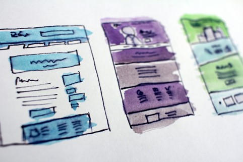
Web APIs are an essential part of building a knowledge-based architecture. They allow information to be moved seamlessly from one system and environment to another, taking advantage of the movement of information across the web. So how is a Web API built?

Robotic Process Automation (RPA) is nowadays an increasingly used technology for routine tasks. RPA uses different information systems as a normal user would, and can be used to automate different information workflows. In practice, quite often a ’’robot’’, which is effectively a single computer with robotics software, is taught a process by doing it in a program as the user would do it. Robotics software also allows extensive use of interfaces and databases, among other things, which are widely supported by these systems.
In the Satakunta region, small and medium-sized tourism destinations are dispersed in many places. Many of them are located outside the residential centers which may make them difficult to access. With the rising popularity of biking as a mean of transportation, destinations might have difficult time gauging their own accessibility. Analyzing the situation with intelligent, data-based tools and methods might prove useful – one such method being automatic generation of isochrone maps.

Home / We solve: Demonstration of robotic process automation for a company 14.2.2022 The company was looking for a solution that could reduce the time it takes to track the turnaround times of the pieces in production and at the same time determine the turnaround time for different products on the production line. A lot